![]() Home Page
Home Page
Fort Stanton Cave Study Project: July-4-2022
|
Fort Stanton Cave Study Project: July-4-2022 |
Selected Photos: Fort Stanton Cave - Page 1
Photo Pages |
These new photo pages are essentially completed, but if you spot any bad links or items that need correction, please email the WEBMASTER. Thanks! |
We want to welcome several new team members that consists of a number of private property owners in the eastern section of Rainmakers and Enchanted Valley Estates adjacent to the NCA and the US Forest Service properties. Thanks to the permission of these selected new team members, our group is now able to continue the exploration past the boundary of the BLM NCA and the Forest Service. Currently this web page is not linked to our other websites and requires this unique URL address for semi-private access. Visitors to this web page are seeing for the first time what was first seen by the four team members on the July 4th weekend. The trip into the cave began Friday morning and continued Friday night into the new territory along the primary Snowy River Passage. Two major passage extensions were surveyed along with some scientific work focused on hydrology and the added survey brought the length of Fort Stanton Cave to just over 44 miles. The team of four exited the cave Saturday night after a round trip of over 22 miles in the cave, just in time to celebrate our July 4th holiday. (A link to the rest of our website is above in the left hand corner.) Most of the photos shown below were taken by members of a Fort Stanton Cave Study Project team on the recent July 4th weekend. In particular, these photos are a selection of over 1000 photos taken during a survey and exploration trip by a team of just four cavers that are highly skilled in both survey techniques and deep cave exploration. They were supported by the "rest of the team" of FSCSP, the BLM and the USFS. The single entrance to the Fort Stanton Cave is located on the northern part of the Fort Stanton - Snowy River Cave National Conservation Area (NCA). When our cavers plan a trip to the cave we first write proposals for each trip to facilitate the interaction with the BLM and USFS partners. Each trip follows the current requirements for any special WNS and COVID-19 regulations, which means we practice many safety and conservation techniques in addition to a decontamination process. Entry into Fort Stanton Cave is controlled to a current maximum of less than 200 individual entries per year, and the caving season is also limited to just six months between May and October during the year. The cave is closed to everyone during the winter bat hibernation months. |
Rene Ohms, Adam Weaver, Brian Kendrick and Stan Allison ended their survey at station SRS730 last visited in April, 2013.
|
Click on the photo to see a larger image.
|
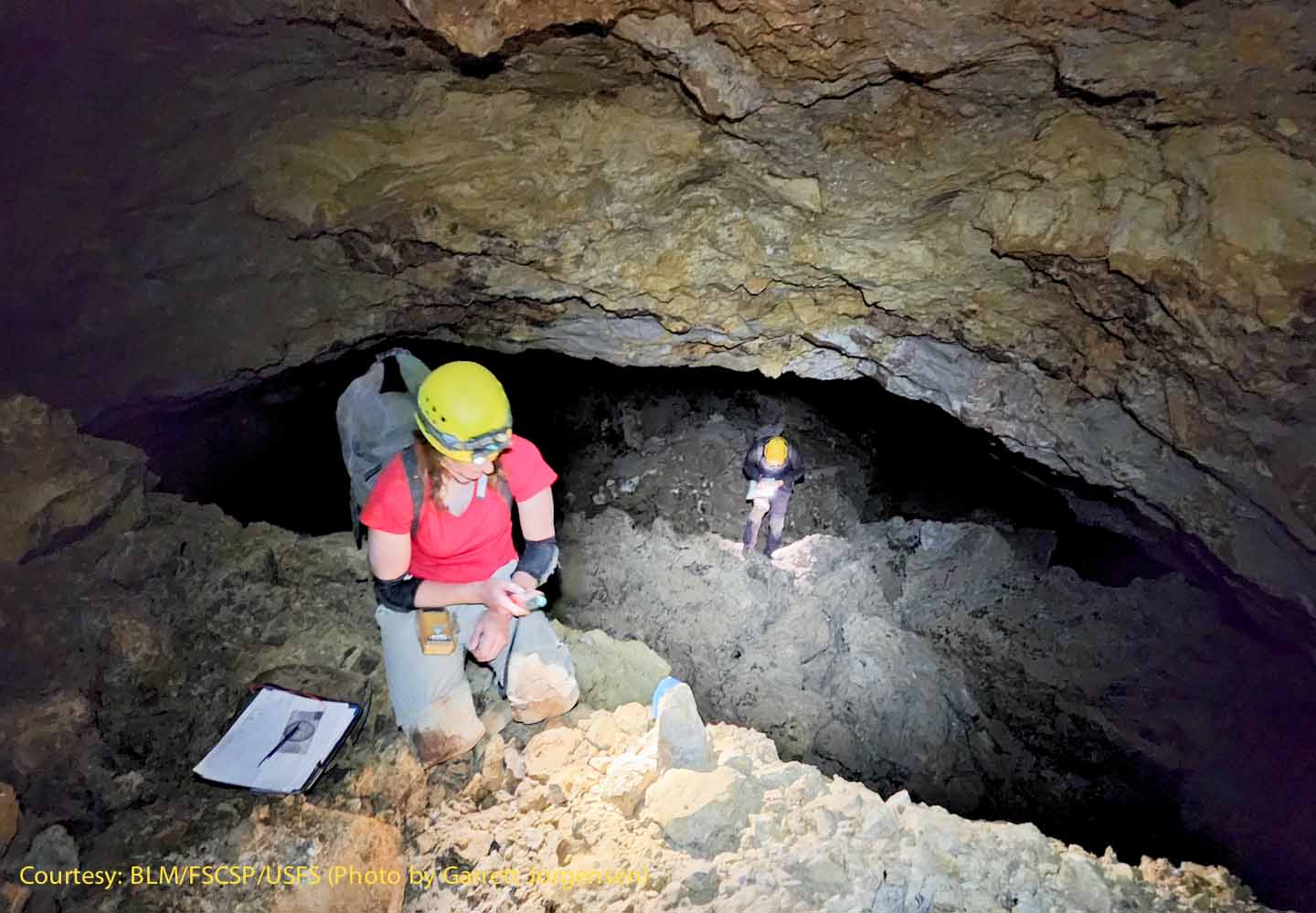
This image shows the new SRS731 station being set up in the continuation of the southern Snowy River Passage on July 1, 2022. |
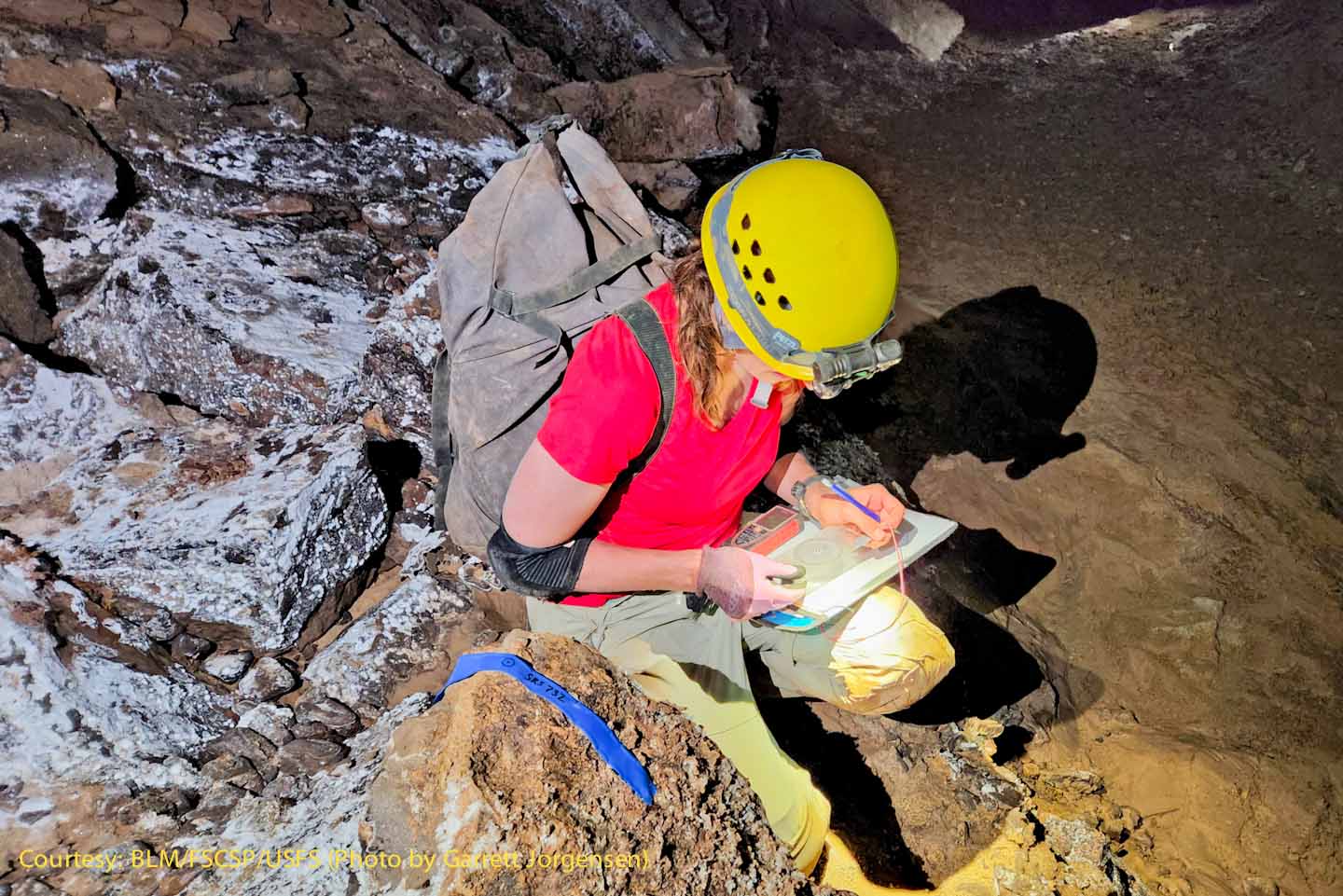
Rene Ohms is using a protractor tool for a profile sketch near SRS732. For complex caves often the floor sketch takes the most time and the profile sketch is done by others. |
|
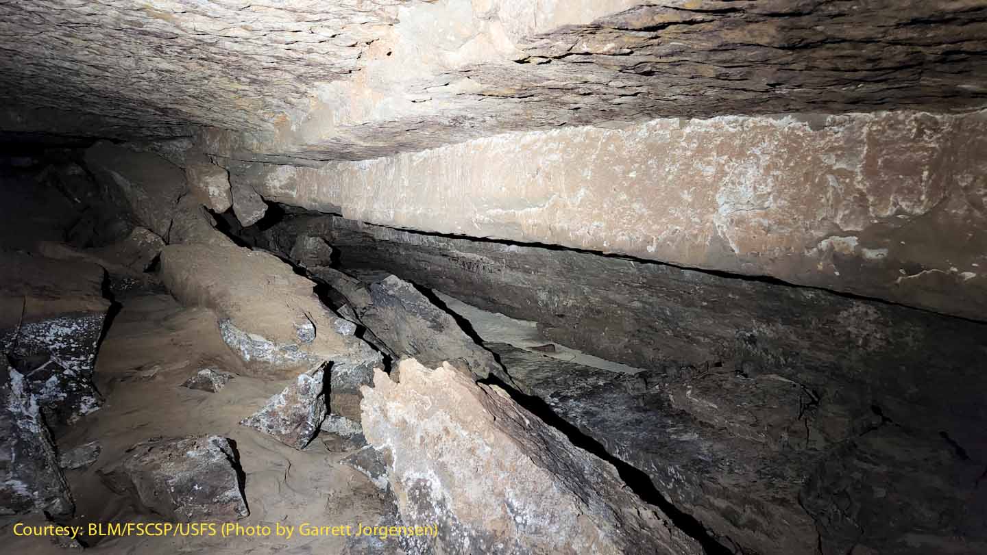
Near SRS732 the Snowy River deposit can be seen at a slightly lower level in the passageway. |
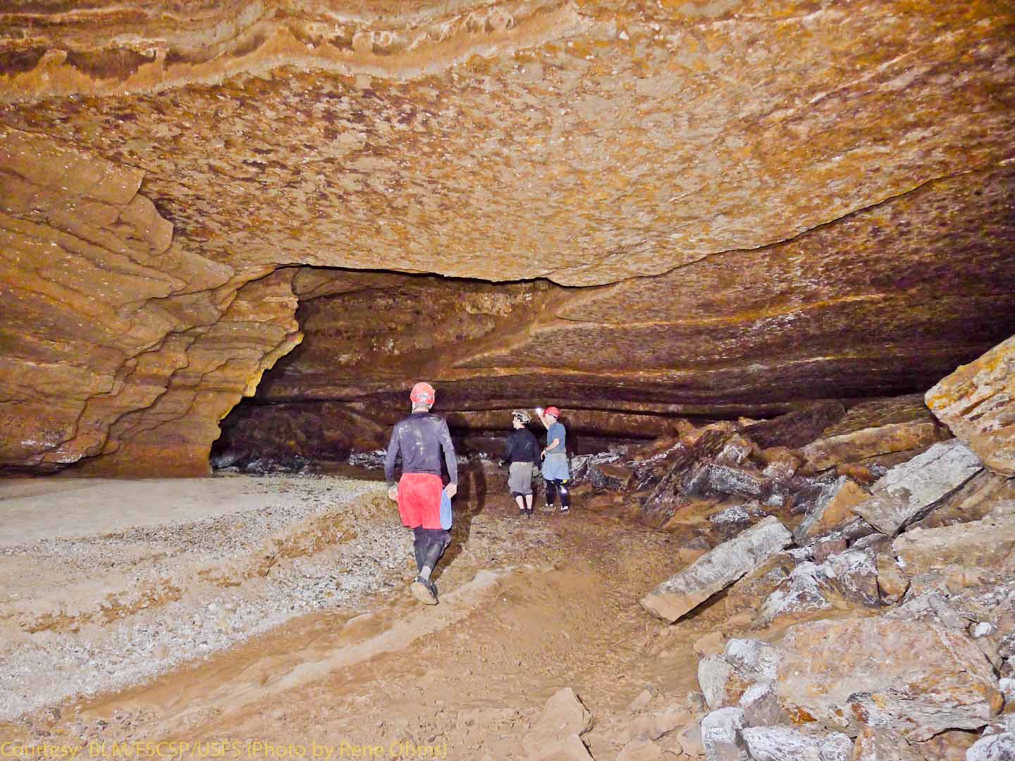
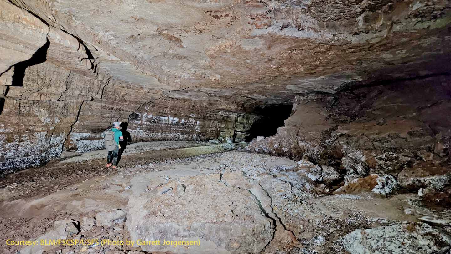
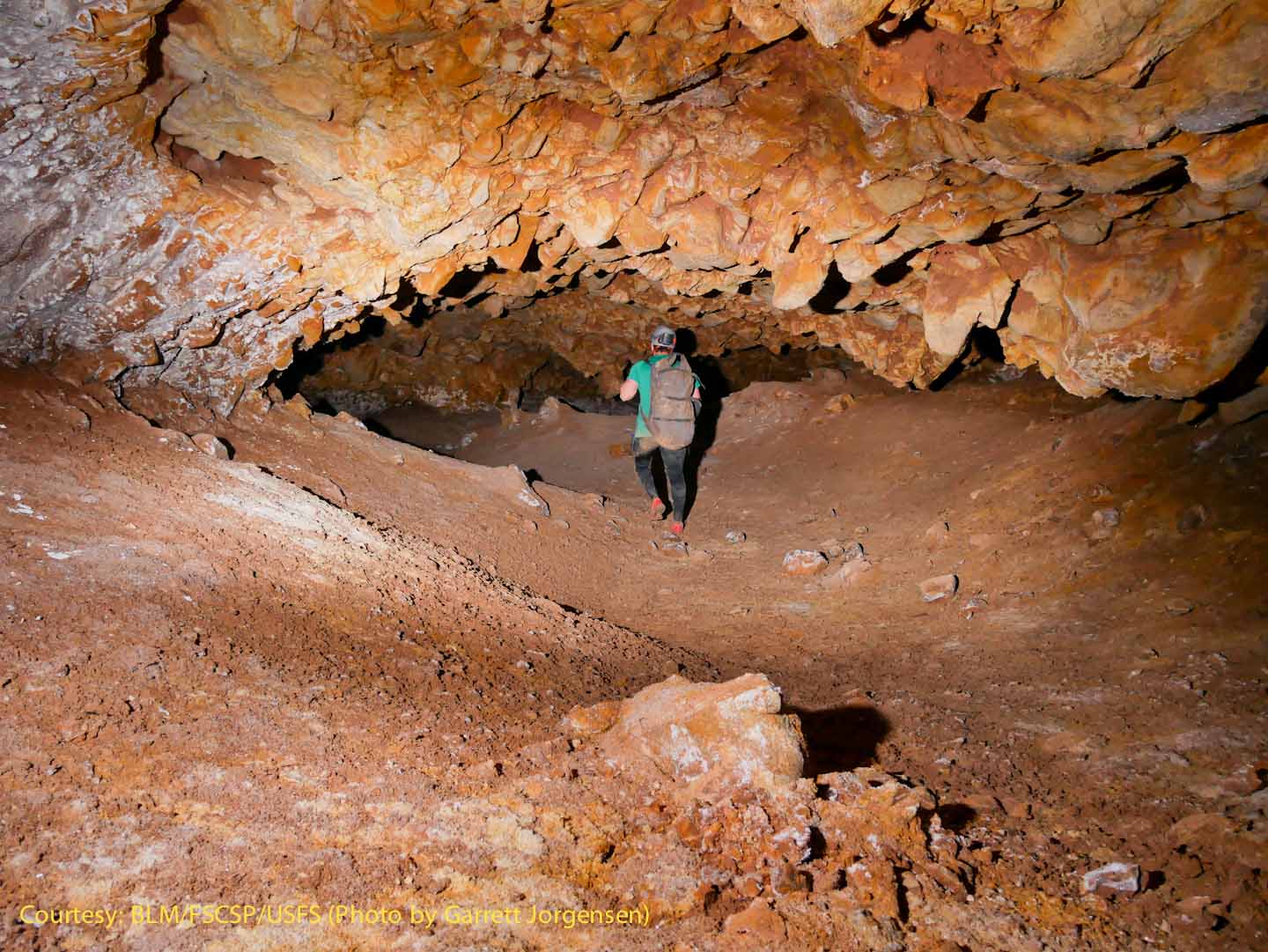
Leading the way was the trip leader for this exploration trip – Adam Weaver, from South Dakota. |
|
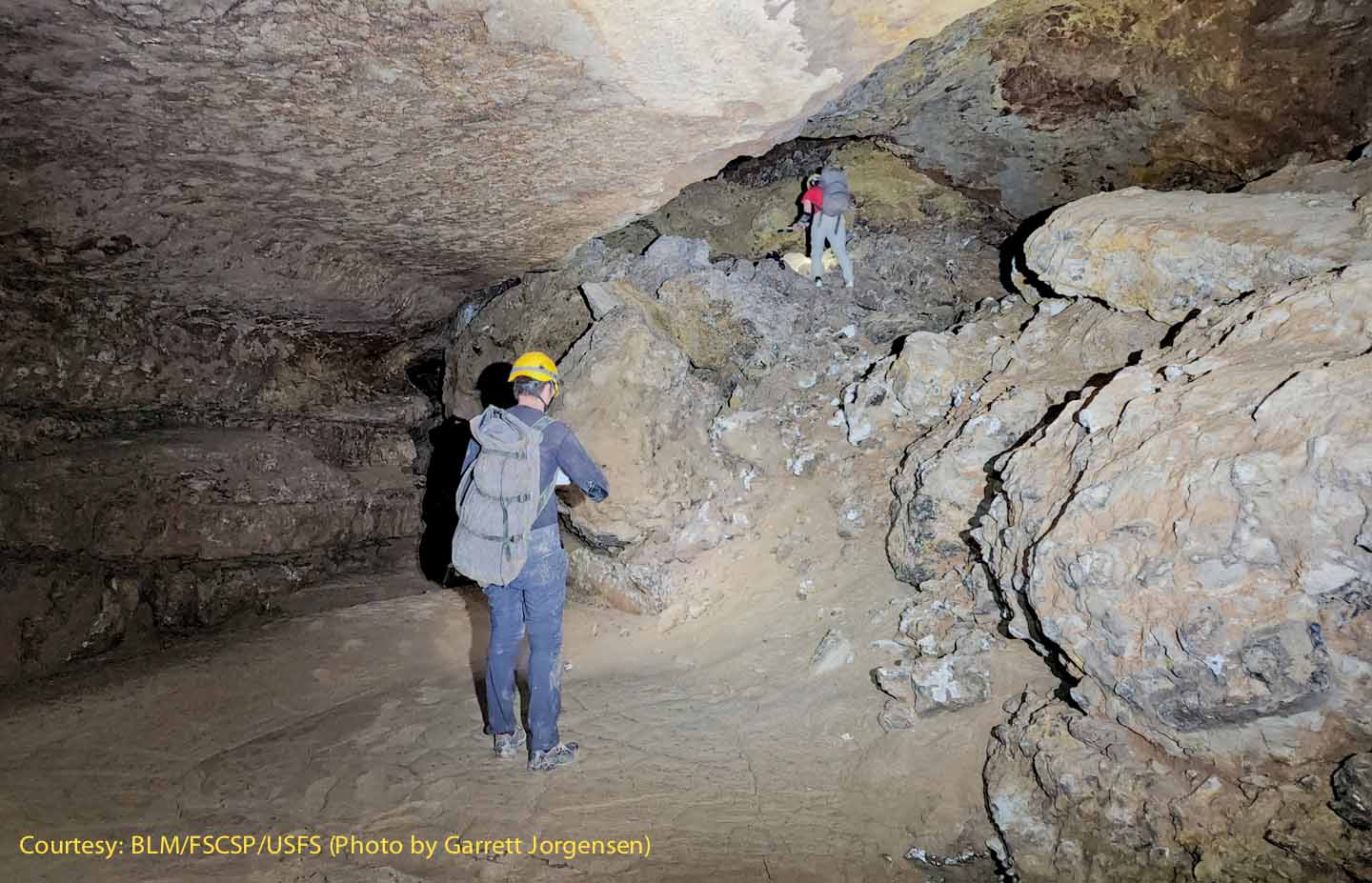
The Snowy River passage is sometimes interrupted by a breakdown collapse. A breakdown collapse is a place where parts of the ceiling have fallen and piled up on the floor. To continue, the explorers have to climb up over the “breakdown pile”. Derek Wolfe, from Colorado was the chief sketcher for the team – In the background is Rene Ohms, from South Dakota. |
Near SRS735 Renee is using the DistoX2 instrument to make the forward compass reading. Derek is in the background sketching. The yellow ceiling layer is fairly common in this cave.
|
|
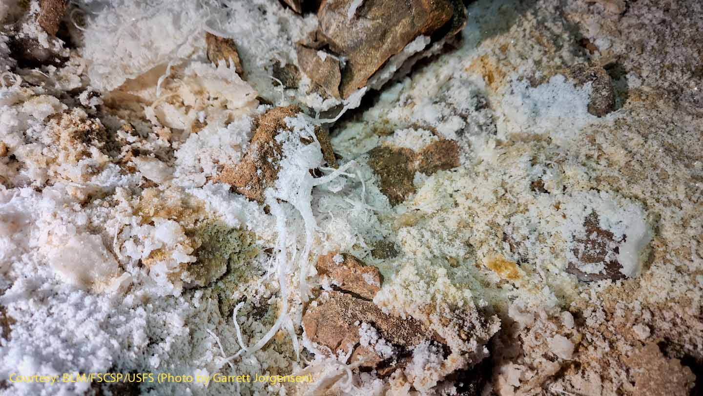
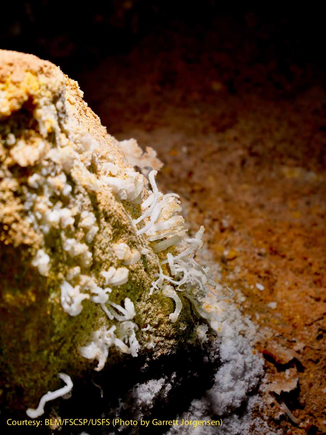
Rare and delicate gypsum flowers near SRS736. Gypsum flowers appear to be extruded from the cave walls like toothpaste out of a tube. For scale, the tendrils are likely around 1/8” in diameter. |
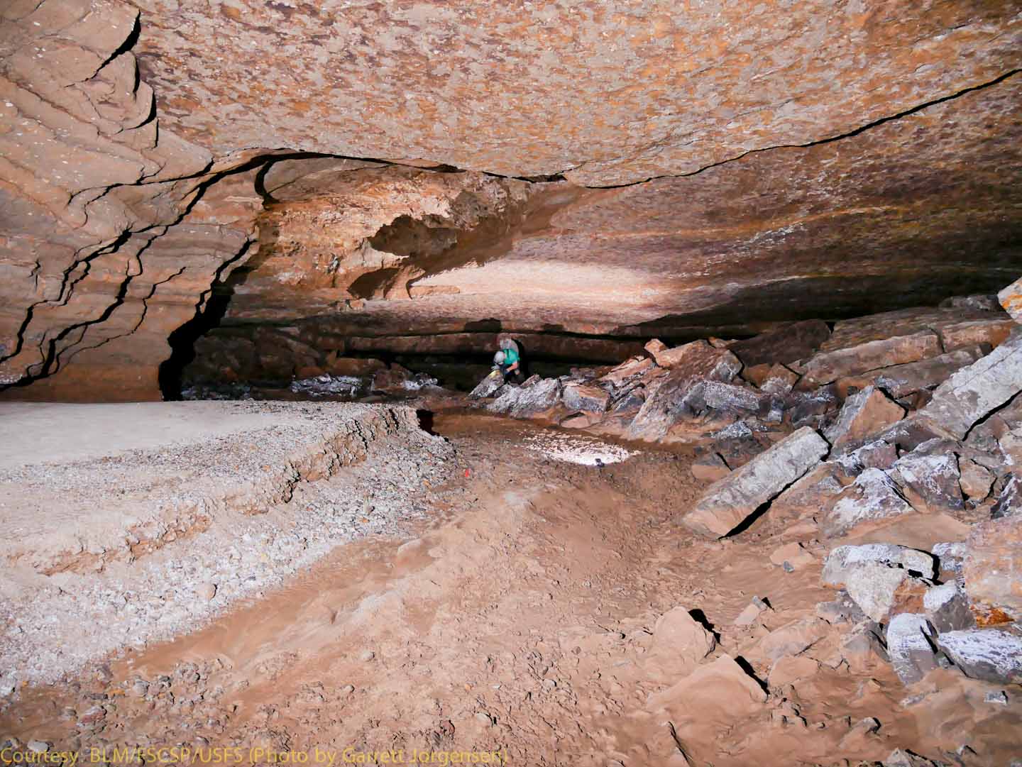
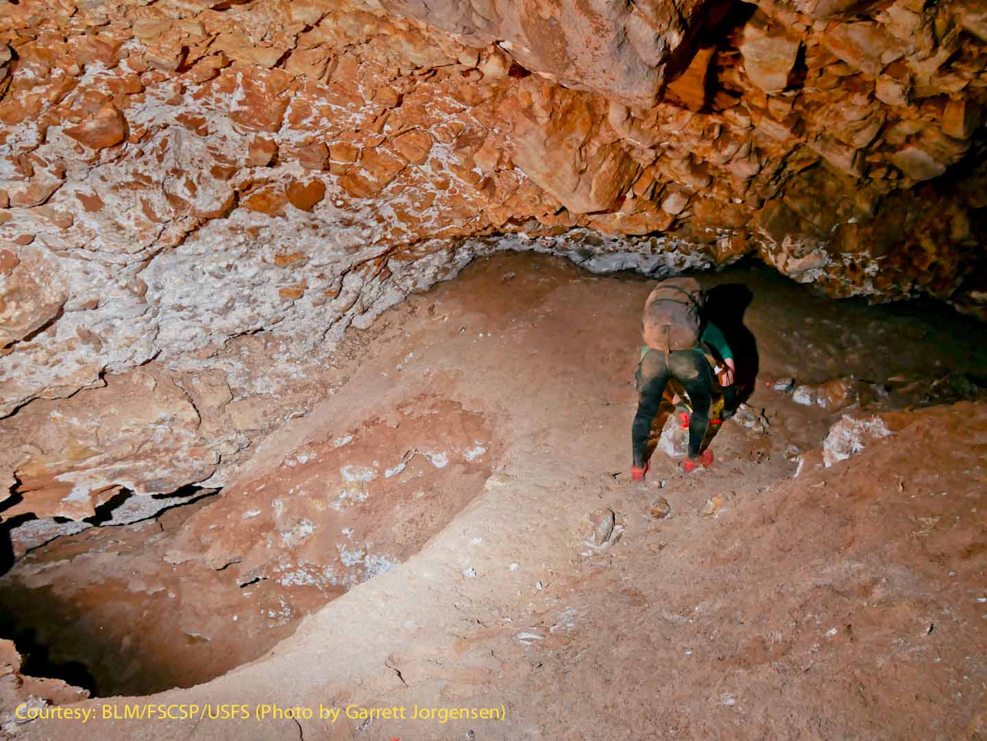
Near SRS738 the cavers continue in "dirty mode" since the Snowy River calcite is on a lower level.
|
|
When the team reaches a smaller "lead" the sketch is marked for future investigation in order to continue along the major path. |
More gypsum flowers near SRS740.
|
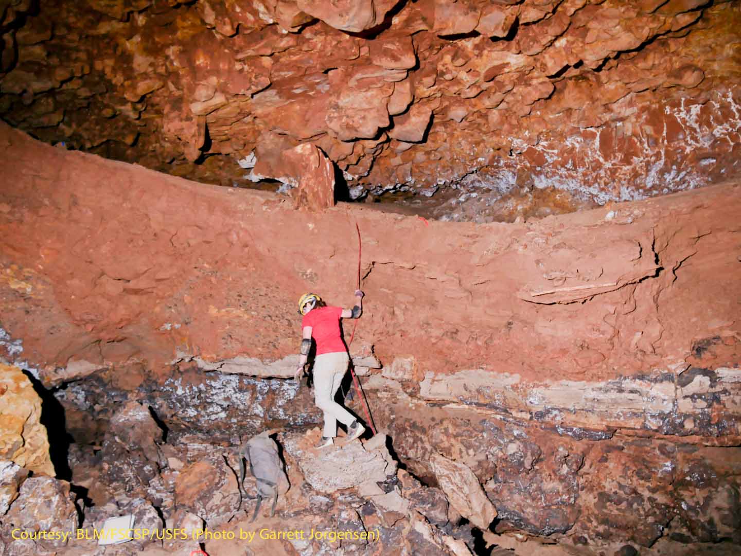
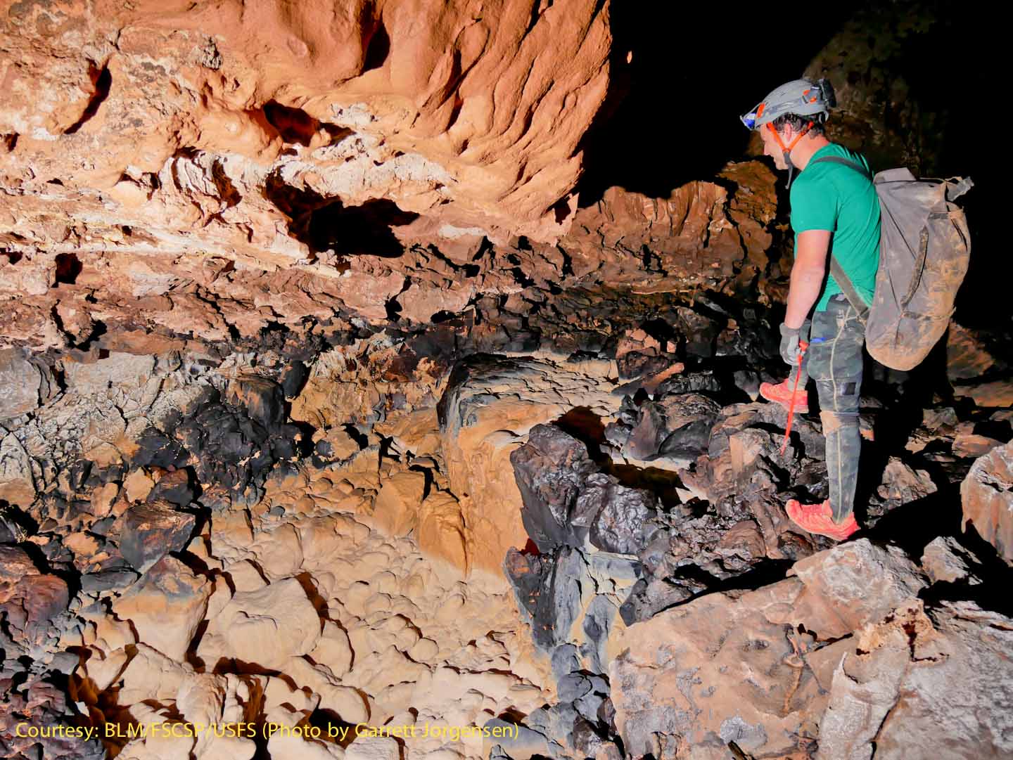
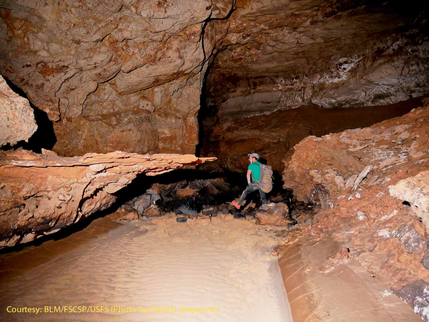
Near SRS742, Rene used a safety hand-line to descend what appears to be a massive wall of stream-borne sediment that has been trenched. The ceiling also seems to be brecciated limestone, not surprising because the Snowy River passage is the farthest toward the down-dip direction, and the higher limestone members are descending closer to the base level. Similar ceiling composition is seen in the next image.
|
|
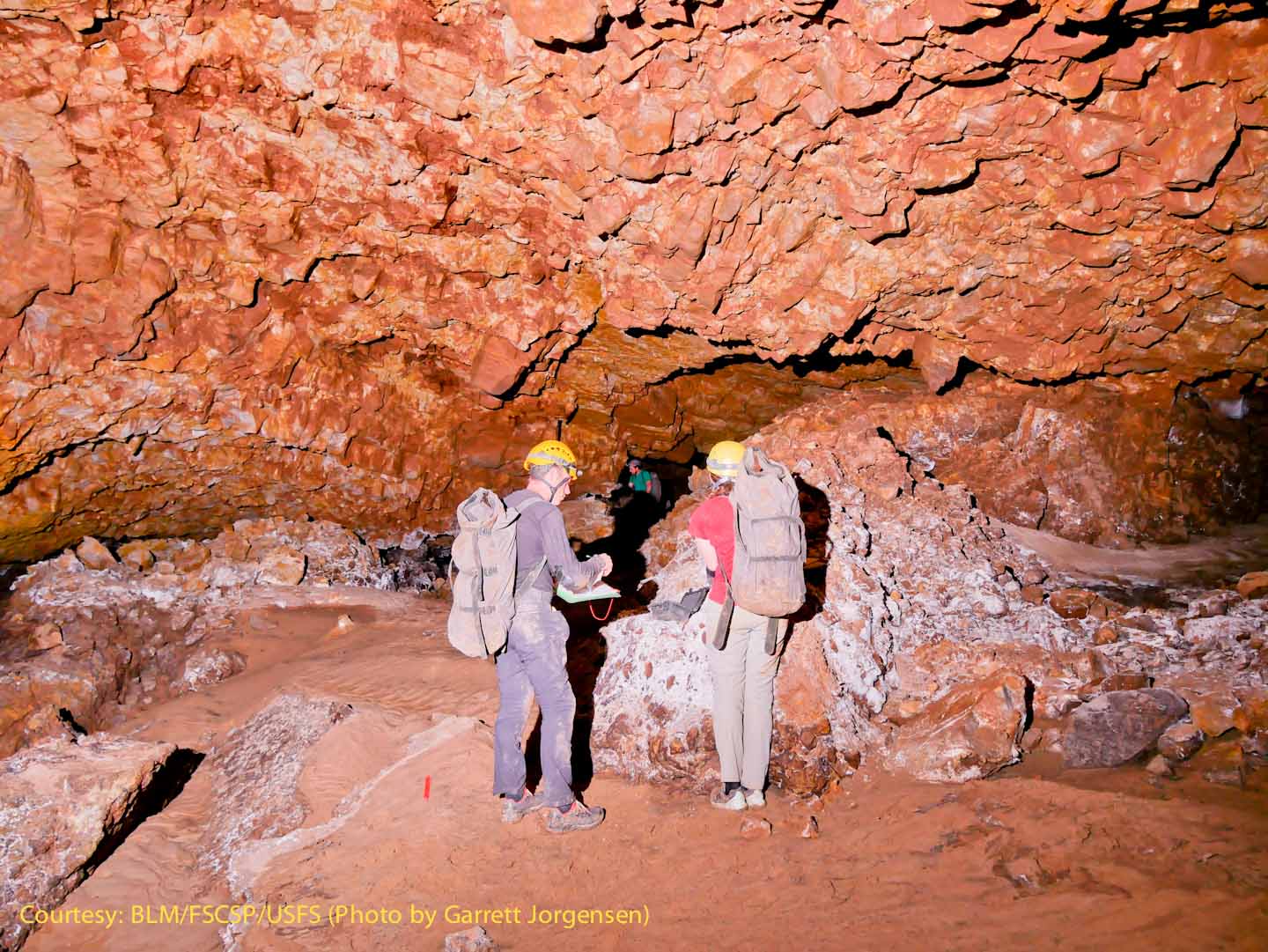
Derek and Rene conferring on how best to describe the passage while Adam scouts ahead for the next station.
|
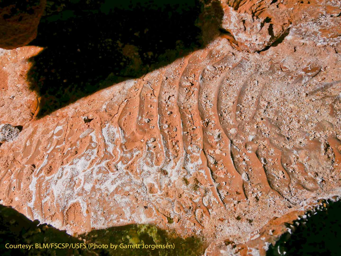
At SRS745 these dramatic, but confusing ripple marks on the floor indicated that water flowed through this passage at some point. |
|
This feature was named Sue Falls where the Snowy River deposit “flows” over a ledge. The black coating is ferro-manganese (a combination of iron and manganese), and is the result of exotic microbes that live on the rocks in the cave, leaving behind a black coating. These microbes are known as extremophiles, and live in the cave and nowhere else, surviving without using photosynthesis. Many of these ferromanganese coatings represent intermittent |
|
At SRS745 these dramatic, but confusing ripple marks on the floor indicated that water flowed through this passage at some point. Flushing of old sediment has undercut a flowstone floor, |
The new survey, added to the SW corner, is not yet shown. |
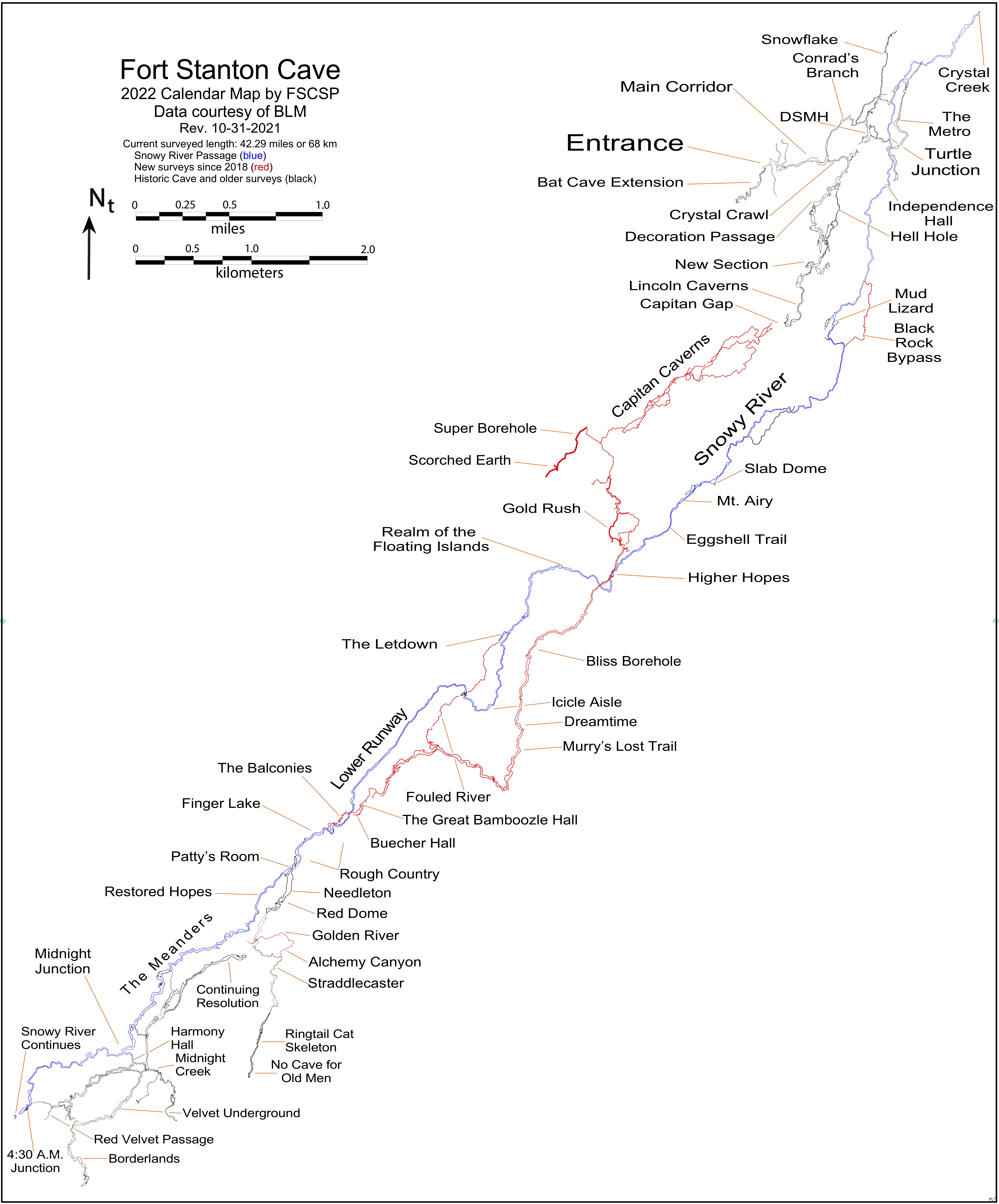 |
The FSCSP acknowledges the support and cooperation of the BLM, the USFS and selected private individuals in the development of this map. No warranty is made by the Fort Stanton Cave Study Project as to the accuracy, reliability or completeness of this data for individual use with other data, or for purposes not intended by the FSCSP. Spatial information may not meet National Map Accuracy Standards. This information is subject to change without notification. |
Photo Pages |
Rev. 7-29-2022 |
Comments to the webmaster |
Contact the FSCSP President |
Contact the Project Director |